Having looked at the beginnings of this project in my previous blog I am now going to look at the mixed fortunes of trig points in the Pennines since 1962 and what purpose, if any, they serve today.
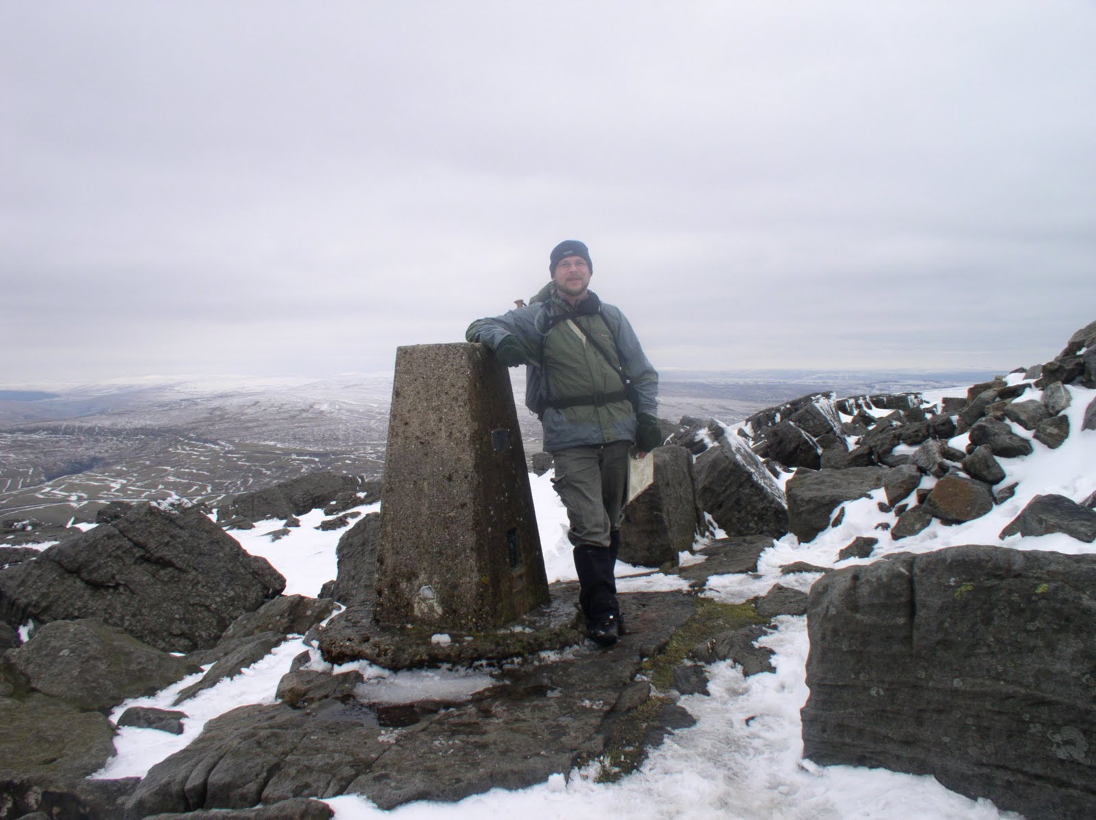
Technology of course has moved on a great deal in the intervening years and today the Ordnance Survey carries out most of its measurements using GPS (Global Positioning System). For practical purposes the vast majority of trig points are now obsolete. The Ordnance Survey does however maintain a 'passive' networks of stations which include 184 trig points of which 10 are in the Pennines. From south to north these are: Merryton Low, Harland Edge, Crow Knowl, Winter Hill, Ilkley Moor, Ward's Stone (East), Great Whernside, Whernside, Cross Fell and Sighty Crag. With the exception of Crow Knowl all the above trig points were amongst the original 300 'primary' trig points.
The fate of the remaining 6,000 plus trig points has been mixed to say the least. Exposure to the more extreme elements our hills have to offer, including the danger of being hit by lightning, has left many in a fairly pitiable state of repair.

Some trig points have become victim of the very ground they were originally situated on. This is particularly the case where trig points were situated in an especially peaty area. Trig points on Black Hill in the Dark Peak and The Cheviot needed to be rebuilt on stone plinths as they were in danger of sliding into the surrounding ooze. Peat erosion at other trig points, such as on Darnbrook Fell in the Dales and Hawthornthwaite Fell in the Bowland hills, has resulted in them now standing precariously on their now exposed foundations.

In some places the surrounding countryside has changed so much that even if someone wanted to use certain trig points for taking measurements it would be practically impossible. A good example of this is the trig point that sits above Caley Crags to the east of Otley Chevin. When it was built it would have been possible to see some of the surrounding trig points in Lower Wharfedale. Today the trig point sits rather forlornly in a plantation with nothing in the vicinity but trees.

While it is not surprising that nature and the elements have sometimes had an adverse effect on various trig points less understandable is the damage wreaked by actual people. I've been to several hills and mountains where the trig point is no longer to be found, or at least not in one piece. The first time I came across this was on Pen-y-Fan, the highest of the Brecon Beacons in Wales. One of the first 'missing' trigs in the Pennines was Parson's Pulpit between Malham and Littondale which stopped being marked on the OS maps some time ago.

I've not yet come across a reason why the trig point was removed. Possibly it was by a local landowner who wished to disuade 'trig baggers' from visiting the area. To actually remove a trig point must take some effort and clearly for some people the act of destruction rather than removal is enough. This seems to be the case on Meldon Hill where the broken sections of the trig point can still be found on the summit. What a pointless act. Do people really think they can put people off walking up a hill by smashing a harmless bit of concrete? Just looking at the picture below makes me feel quite angry.

Even more astonishing is that it is not just vandals or private landowners who have removed trig points. It may come as a surprise to some that the Yorkshire Dales National Park authority have also done so. There used to be a trig point on Addlebrough, a shapely hill in Wensleydale. Ostensibly to protect a nearby cup and ring marked stone the YDNP decided to dismantle Addlebrough's trig point and use the pieces to construct a cairn about 30m away. The logic behind this quite defeats me especially as, at the same time, they created a permissive path to the summit thus encoraging visitors!!

Thankfully it is not all doom and gloom for trig points. They are a welcome sight to many walkers who have toiled up steep slopes to the summit of a hill and in poor weather they are a extremely useful landmark. It is not surprising therefore that many people see them as national monuments to be loved and cherished. Individuals or local walking groups have even taken it upon themselves to maintain certain trig points. I recently visited the trig point on Broadstone Hill attached to which was a plaque commemorating the resiting of the trig point by a Saddleworth fell runners club in 1998, a few months after it had been knocked down by vandals.

If, while walking in the hills, you come across a trig point adorned in a bright white coat of paint then the chances are that this trig point has its own, self-designated, guardian angel. Caught in the right light these white trigs really can be seen from miles away. To carry a paint and brush on to the hills requires some dedication and indeed there is a thriving community of trig enthusiasts both on the hills and online. One of my favourie websites is www.trigpointinguk.com, an online community of over 3,700 trig enthusiasts who log each visit they make to a trig point and upload photos of the trig points themselves. The site provides all sorts of fascinting data and is a real goldmine of information. The lengths some people go to visit a trig point, especially those that are in private land, can be quite entertaining. Some of these people are not even walkers but get in the car and go on trig bagging expeditions.

While some people may think such a pastime is a bit foolish and even a bit geeky (and here they may be right) it is ultimately these kinds of people who will ensure that the vast majority of trig points survive and for this they must be applauded. Personally though I think that some sort of governmental protection needs to be put in place to stop any more trig points from being wilfully damaged or removed. Perhaps at the same time they can pass a law stopping people from painting trig points anything other than white because quite honestly the trig point on Longridge Fell made me feel sick just looking at it. What were they thinking of!!!

No comments:
Post a Comment